

Ahora estás siguiendo a
Error al seguir a usuario.
Este usuario no permite que los usuarios lo sigan.
Ya estás siguiendo a este usuario.
Tu plan de membresía solo permite 0 seguimientos. Mejora tu membresía aquí.
Dejaste de seguir correctamente a
Error al dejar de seguir al usuario.
Has recomendado exitosamente a
Error al recomendar al usuario.
Algo salió mal. Por favor, actualiza la página e intenta de nuevo.
Email verificado correctamente.

padang,
indonesia
Aquí son las 12:17 a. m.
Se unió el junio 8, 2013
0
recomendaciones
Fajrin -.
@fajringeo
0,0
0,0
0%
0%
padang,
indonesia
N/A
Trabajos finalizados
N/A
Dentro del presupuesto
N/A
A tiempo
N/A
Tasa de recontratación
GIS, Remote Sensing and Photogrametry Profesional
Contacta Fajrin -. sobre tu trabajo
Inicia sesión para comentar cualquier detalle por chat.
Portafolio
Portafolio
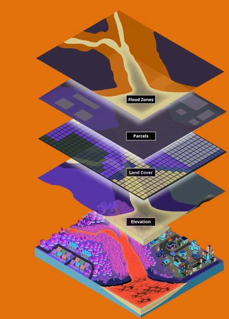

Geospatial analyst


GIS data Conversion
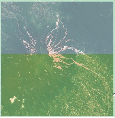

Feature Extraction of Remote Sensing Images
Geospatial analyst
GIS data Conversion
Feature Extraction of Remote Sensing Images
Comentarios
Cambios guardados
¡No hay comentarios para ver aquí!
Experiencia
RS/GIS Specialist
ene 2019 - Presente
As a remote sensing and GIS specialist, I have experience in collecting, analyzing and visualizing geospatial data to solve various problems related to the environment, cadastral and conservation. I have used a variety of remote sensing technologies and software such as satellite imagery, lidar and drones to map and monitor agricultural land, water quality and biodiversity. I have collaborated with various academic and non-profit institutions to solve various environmental and social.
Educación
M.Sc
(3 años)
Contacta Fajrin -. sobre tu trabajo
Inicia sesión para comentar cualquier detalle por chat.
Verificaciones
Principales habilidades
Explorar freelancers similares
Explorar galerías similares
¡Invitación enviada correctamente!
¡Gracias! Te hemos enviado un enlace para reclamar tu crédito gratuito.
Algo salió mal al enviar tu correo electrónico. Por favor, intenta de nuevo.
Falló el copiado al portapapeles. Intenta de nuevo después de ajustar tus permisos.
Copiado al portapapeles.
Cargando visualización previa
Permiso concedido para Geolocalización.
Tu sesión de acceso ha expirado y has sido desconectado. Por favor, inica sesión nuevamente.